World latitude vector icons download free

32 world latitude icons download SVG PNG. Professionally designed high quality vector icons download free

Discover 32 World latitude icons in SVG and PNG formats, crafted for clarity and flexibility in modern design projects.

Sort by

Premium vectors from Shutterstock

Earth map world globe sphere with white grid lines and polar view, latitude and longitude line A flat vector illustration of planet Earth. Geographic coordinates diagram shows Earth with longitude and latitude lines, demonstrating global position measurement. Outline diagram Grey world map with grid line point on Japan, Asean and Australia view from outer space. Vector Map Illustration. World Map in equirectangular (plate carree) projection. Continents style. High detail world map for infographics, education, reports, and presentations. Vector illustration. 3D Globe Showing Latitude, Longitude, Equator, Prime Meridian, and Geographic Coordinates with Earth’s Hemisphere and Degree Markings for Cartography, Navigation, and Mapping Purposes Wireframe globe with latitude and longitude lines on a white background Set of striped 3D globe grid spheres. Vector symbols with latitude and longitude lines, representing global geography and spherical shapes.
Australia on Globe. Vintage look with grunge scratched texture. Country view on world map in Dark Charcoal Turquoise color palette. Australia shape on map. Globe with meridians and parallels. Democratic People's Republic of Korea on Globe. Vintage look with grunge scratched texture. Country view on world map in Dark Charcoal Turquoise color palette. Democratic Republic of Korea shape on map.

Premium vectors from Shutterstock

Vector Globe centered to North Pacific Ocean. Ocean Blue Golden Yellow palette. World map with meridians, parallels, countries, rivers and lakes. Creative vector illustration. Germany on Globe. Vintage look with grunge scratched texture. Country view on world map in Dark Charcoal Turquoise color palette. Germany shape on map. Globe with meridians and parallels. Gray world map illustration with latitude and longitude grid lines, showing the Northern Hemisphere with a focus on the Middle East region. World globe grids icon set, Earth longitude and latitude line wireframe spheres, Earth globe hemispheres set, Vector linear striped globes Grey world orthographic map with grid line view point on Asia  and Australia area. Vector Map Illustration. Grid of parallels and latitudes on a cirle in flat style. Vector World globe grids icon set, Earth longitude and latitude line, set Earth globe hemispheres, linear striped globes Republic of Korea on the map. Globe centered to Republic of Korea. Country location on the world map. Teal Pale Mint color palette. Globe with countries, meridians and parallels.  illustration of Sphere and Hemisphere. explanation of latitude and longitude. Picture of the earth. South pole, north pole, eastern and western hemispheres Islamic Republic of Mauritania on Globe. Vintage look with grunge scratched texture. Country view on world map in Dark Charcoal Turquoise color palette. Mauritania shape on map. Globe world icon. Education map. Earth silhouette template. Orb grid model. Ocean and continent border. Geography science sign. Logistics global app. ECO cartography. Vector garish planet symbols set World globe grids in circle form with stars shapes. Linear striped spheres, earth latitude and longitude line grid. Retro futuristic design elements. Vector illustration. Continents, Continent, Land, latitude, longitude, world, globe, geography, visual, map, geoid, poles, pole, equator, formation of seasons, shape of the world Continents, Continent, Land, latitude, longitude, world, globe, geography, visual, map, geoid, poles, pole, north america, shape of the world, south pole, north pole, atlantic, pacific World globe grids in oval form with stars shapes. Linear striped spheres, earth latitude and longitude line grid. Retro futuristic design elements. Vector illustration. World globe grids in circle form. Linear striped spheres, earth latitude and longitude line grid. Retro futuristic design elements. Vector illustration. Latitude longitude lines grid, earth mapping . Geographic coordinate system. World prime meridian parallel. Birmingham, equator. horizontal vertical strokes in sphere. Cartography illustration vector Abstract geometric sphere with grid lines and latitude longitude lines representing a globe This vector representation displays the world map in Aitoff projection, showcasing continents, oceans, and geographical lines. The layout highlights the curved boundaries of landmass and water. Circle, model of planet, Earth with degree grid, coordinate system, latitude from 0 to 90 and longitude from 0 to 180. Parallels and meridians on flat circle. Isolated on white background. Vector

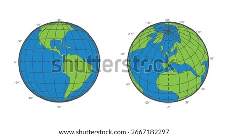
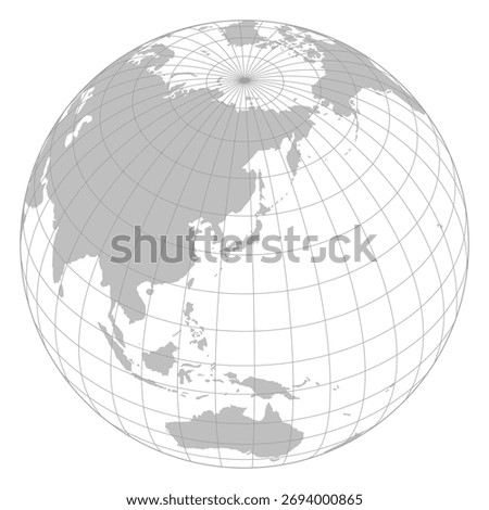
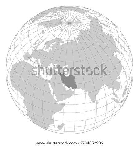
About the World latitude Icon Collection, SVG & PNG Formats, and Creative Use


This World latitude icon hub brings together a wide range of professionally designed vector icons suitable for websites, mobile apps, user interfaces, presentations, and branding materials. All icons are available in SVG and PNG formats, giving you the freedom to choose between scalable vector graphics for responsive and print-ready designs, or ready-to-use raster images for quick digital integration.

SVG icons are fully scalable and maintain perfect sharpness at any size, making them ideal for high-resolution displays, large banners, and adaptable layouts. PNG icons are pixel-based and work best for fixed-size use cases such as UI elements, previews, or web content where resizing is minimal. Both formats are compatible with popular design tools like Adobe Illustrator, Figma, Sketch, Canva, and Photoshop.